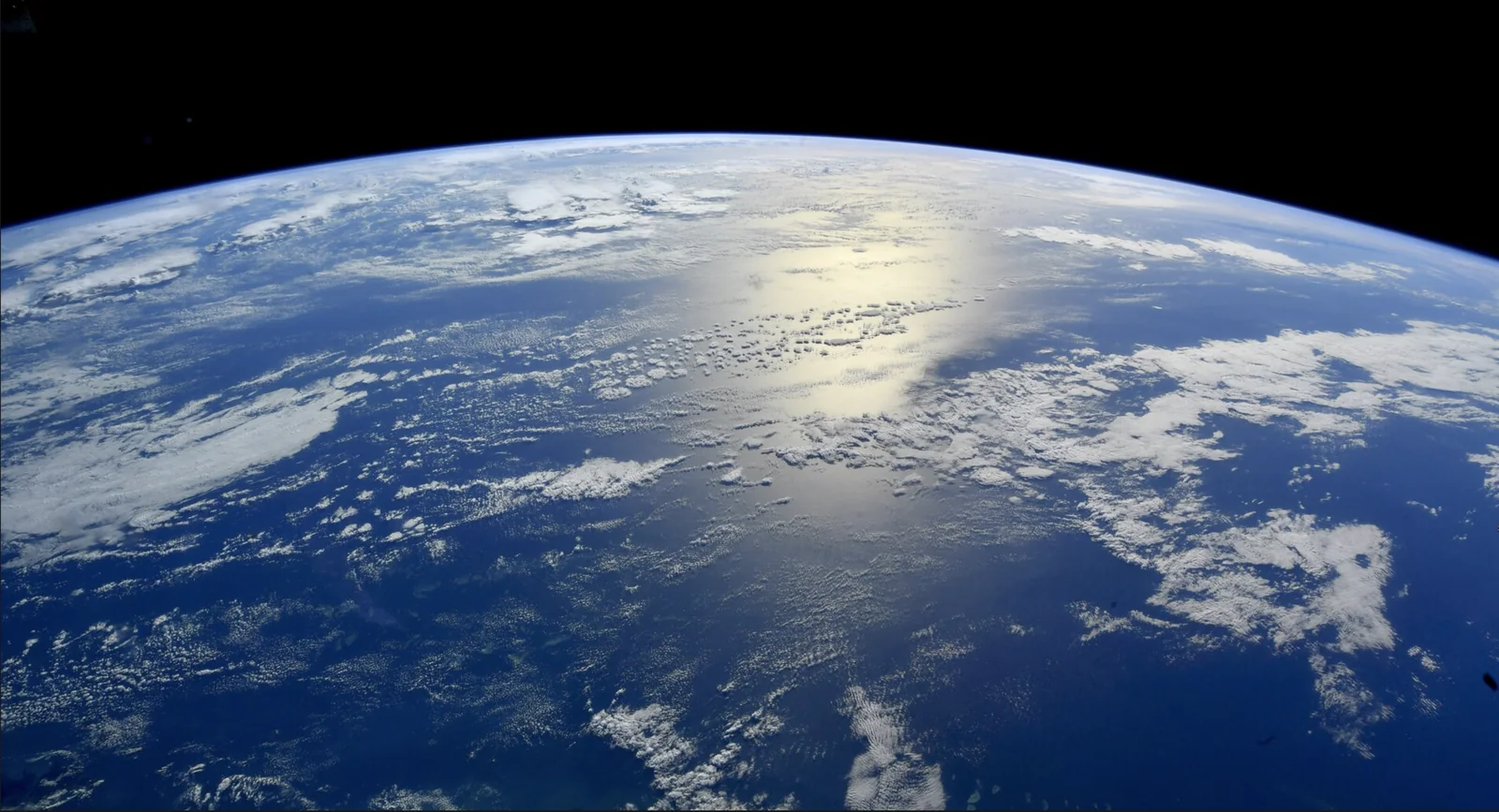
The curve of the Earth seen from orbit, with sunlight reflecting off the Pacific Ocean beneath broken cloud.

Measure the Atmosphere.
Quantify the Risk.

A satellite observation and probabilistic modelling system for calibrated weather-risk estimates.

Observation Science

Atmospheric state estimation depends on the spatial coverage, temporal sampling and uncertainty of the underlying observations. Our research examines how observational constraints propagate through probabilistic models into analysis uncertainty, forecast reliability and hazard estimates.

Meneltir is developing a novel satellite constellation as part of an integrated observation-to-decision architecture. Proprietary atmospheric observations, onboard processing and probabilistic hazard modelling are being designed together. Forecast and decision value will be assessed through simulation, benchmark evaluation and independent validation.

System Architecture

The constellation is being developed to supply proprietary atmospheric observations to a unified processing and modelling pipeline. Observation latency, uncertainty characterisation and information content are treated as joint requirements, connecting orbital system design to downstream analytical performance.

Our architecture connects spacecraft operations, onboard computation, ground processing and model evaluation. The engineering programme addresses power, thermal, bandwidth and reliability constraints alongside data quality, traceability and uncertainty propagation.

Conceptual spacecraftIllustrative small low-Earth-orbit spacecraft with two custom passive microwave sounders and an onboard processing unit. Geometry is not to scale.Custom passive microwave soundersCustom busOnboard processing
Observation, downlink and control linksA spacecraft on an illustrative orbit receives passive microwave radiation from a field of view on the Earth below. Payload data is downlinked to a ground station on the Earth's surface. A separate command and telemetry link between the spacecraft and the same ground network carries commands up and telemetry down; mission control connects to the ground network by a terrestrial link. Orbit and locations are illustrative and not to scale.Illustrative orbitSpacecraftCommand & telemetryPayload downlinkPassive sensingfield of viewGround networkMission controlIllustrative orbit
Public & licensed data
  1. Microwave measurements
  2. Onboard processing
  3. Ground reception
  4. Calibration
  5. Weather OS
  6. Hazard products

Proposed architecture. Payload geometry and orbits illustrative.

Proprietary atmospheric observations

Our novel constellation is being designed as a proprietary observation source for atmospheric inference. The processing chain will characterise measurement uncertainty, preserve data lineage and support consistent evaluation across acquisition, processing and modelling stages. Observation quality and downstream information value will be assessed separately.
Onboard processing & data delivery

Selected processing is being designed to run in orbit, supporting quality control, event tagging and prioritised delivery. The architecture retains archival data and store-and-forward capability. Evaluation will measure end-to-end latency, data completeness and computational reliability under realistic operational constraints.

Weather OS & uncertainty propagation

Weather OS is being developed to ingest public and licensed satellite, radar, station and reanalysis data before proprietary observations become available. The planned pipeline combines task-specific adaptation of open-weight forecast models with hazard translation, uncertainty quantification and versioned indices. Intended interfaces include BUFR for observation exchange, Zarr/NetCDF analysis fields and APIs for decision workflows.

Calibration, Validation & Assimilation

Our validation plan combines traceable pre-launch characterisation, independent reference comparisons and end-to-end uncertainty analysis. Observing-system simulation experiments will assess prospective information gain before hardware flies. Subsequent evaluation will test model impact, probabilistic calibration and decision performance against reproducible baselines.

Hazard Products

Insurance & reinsurance

Parametric indices & basis-risk analysis.

Weather OS is being designed for hazard-index construction, backtesting against loss histories and programme monitoring with locked model versions. Traceable inputs and reproducible event reports are intended to support independent calculation-agent verification.

Energy & financial markets

Probabilistic wind & precipitation risk.

The modelling pipeline targets temperature, wind and gust risk, precipitation structure and short-range evolution. Calibrated predictive distributions and uncertainty metadata are intended to support renewable-generation and weather-exposure workflows through APIs.

Public resilience

Hazard thresholds & event provenance.

Proposed products include precipitation, heat and wind-risk indicators for threshold-based monitoring. Versioned processing, observation lineage and quantified uncertainty are designed to make alerts reproducible and suitable for integration with emergency-management systems.

Research & Engineering

Headquartered in Malta, Meneltir brings together satellite engineering, atmospheric science and research computing. Our technical work spans probabilistic spatio-temporal modelling, uncertainty propagation, distributed data processing and the power, thermal and reliability constraints of computing in orbit.

Current work centres on constellation architecture definition, payload trade studies and the Weather OS modelling pipeline built on public and licensed observations. The research programme evaluates information gain, ensemble-analysis spread, predictive calibration and observation-to-product latency, with reproducible benchmarks linking system performance to downstream decisions.

Team

  • Patrick Newton

    Co-Founder & CEO

    Previously built and scaled an Earth observation company from inception through multiple funding rounds, turning satellite-derived machine learning into enterprise decision systems. At Meneltir, he leads commercial strategy, capital formation and strategic partnerships.

  • Indrajit Pawar

    Co-Founder & CTO

    Applied geospatial systems architect with experience across agriculture, energy, water and defence. At Meneltir, he leads satellite systems engineering, on-orbit AI and the end-to-end atmospheric intelligence platform.

  • Mark Maslin

    Chief Science Officer

    Professor of Earth System Science at UCL, with more than 200 publications and over £75 million in research funding. At Meneltir, he anchors the scientific architecture and climate-risk credibility of the weather intelligence stack.

  • James Hetherington

    Director of AI

    Professor of Computational Science at UCL and Honorary Fellow of the Alan Turing Institute, with a career building reliable scientific AI systems. At Meneltir he leads AI, spanning numerical weather prediction architecture and edge computing for GNSS radio occultation.

Technical Collaboration

We invite collaboration on orbital computation, probabilistic modelling, validation campaigns, assimilation experiments and risk-index evaluation.